Finally processed Brasil 2010 tracks
So, I had heard about heatmap.py - you can find it on GitHub - and wanted to try it out.
We were down in Brasil last year for the Holidays. Every chance I got, I tracked our location from my phone with Maverick. Now, I use Locus - mainly because the Author (Menion Asamm) incorporated MBTiles support upon my suggestion. By the way, I hate my Android phone now and can’t wait to go back to iOS - however, I digress!
I had about a dozen .gpx tracks and today I finally processed them! The trickiest part was merging them into a single .gpx file. I thought ogr2ogr initially was going to be the way but I ended up using GPSBabel and this method from the OpenStreetMap wiki.
Here was the first output:

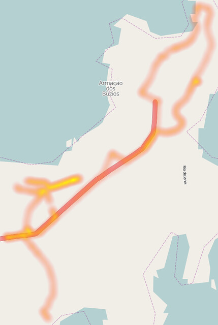
The two main places we were hanging however, were Búzios (wow, it really needs some OpenStreetMap data!):
and Rio - specifically Urca, Jardim Botanico and across the bridge in Niteroi:

For my close ups on Buzios and Rio - I imported the merged.gpx into JOSM, converted to .osm and did quick selections around Buzios/Rio > saved back into .gpx and ran heatmap.py again. I know there may be some better ways to do this but it was quick and I got the results I was looking for. Also, I failed on the bash script to do the .gpx merge all-slick-style … I had to append every .gpx file name into the gpsbabel command - don’t know if that script on the OSM Wiki works for OS X Terminal too? But happy I got to this before the 1 year mark came, cheers!