osm history renderer Cal Poly Campus in OSM
My friend + coworker Corey and I have been putting in work in SLO County since around 2009. And now we and others in the office are making a big push to digitize building footprints. I stumbled upon osm-history-renderer a bit ago and now had a cool use for it…also, related - MapBox blogged about a sprint to map college campuses. Here are a couple before/semi-current images of CalPoly generated from the osm-history-renderer on Ubuntu 11.10. The most recent full-experimental-pbf I grabbed was dated Feb. 28 of this year, so that’s as recent as I could get. Really looking forward to showing our progress in the County with building footprints - - which didn’t really get going until mid-April…so, a follow up to this down-the-road. Also, animations should be fun!
October 10, 2008:

Feb. 28, 2012:
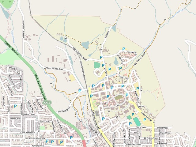
Here’s the extent on OpenStreetMap.